

Warmer Weather Expected This Week In NE Oklahoma
<p>The pattern will slowly change for the next few days and eventually will be bringing the low-level moisture back into the state along with warmer weather. </p>Monday, June 26th 2017, 4:02 am


What a wonderful weekend we experienced weather-wise across the region. The lower dew points (and lower humidity) paid big dividends with highs in the 80s and plenty of sunshine. The pattern will slowly change for the next few days and eventually will be bringing the low-level moisture back into the state along with warmer weather.
A few storms may brush the northern sections for the next few days but most locations will remain dry. The pattern may change enough by the end of the week to allow a front to drop across the northern sections of the state Friday and the weekend with a chance for more storms over a larger area.
Temperatures are mild this morning with most locations in the 60s. Highs this afternoon should move into the mid to upper 80s east to southeast winds around 10 mph. A weak boundary may slide southward later today and bring a wind shift from the northeast for a few hours later tonight into pre-dawn Tuesday.
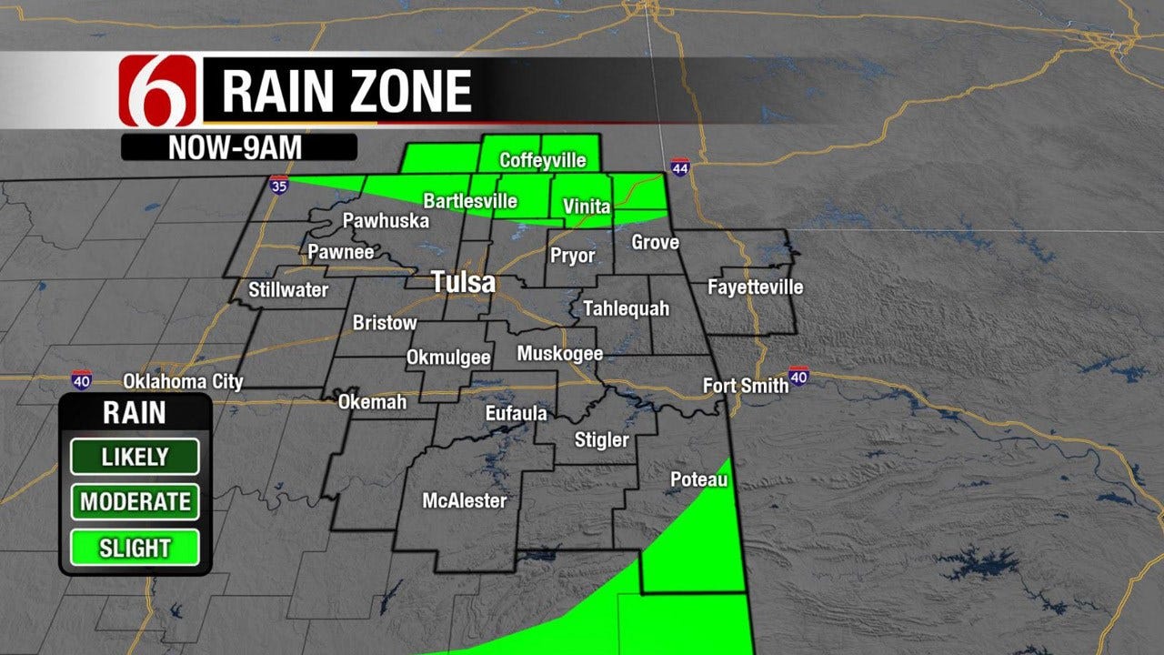
The upper air flow is from the west-northwest for the next day or two and should allow at least a chance for a few showers or storms to near the southern Kansas and northern OK area later tonight before ending pre-dawn Tuesday along the state line area. The chance for a few storms on the northern fringe areas may remain Tuesday night into Wednesday for the odds will remain low.
As the middle to the end of the week nears the next strong upper-level trough will develop across the pacific northwest and move across the northern high plains while gaining strength. Our winds will be increasing from the south during this period with breezy to windy conditions. A few left-over storms may approach far northern OK late Tuesday night into Wednesday morning but the odds will continue to be rather low for most of our area of concern.
This system will shove a surface front southward Thursday into Friday with increasing thunderstorm chances for southern Kansas and northern Oklahoma with the best chance occurring Friday afternoon and evening. The data supports the chance continuing this weekend with the boundary remaining near or north of the I-44 corridor region before lifting northward later this weekend into early next week.
Low-level dew points in the lower to mid-70s may return across eastern Oklahoma Friday into the weekend with increasing temperature heat index values.
Some data support the boundary remaining near the area early next week but the pattern is also indicating the mid-level ridge attempting to build into the state from the west. But the last two runs are now hinting at a mid-level trough Monday and Tuesday (nearing the 4th of July) that could bring some active weather to the region. We’re still many days away from this period but it’s something to watch.
After this feature clears the region (at least in the data) the models start the process of building heat into the state. This is the typical " summer pattern" prevalent for the state.
Thanks for reading the Monday morning weather discussion and blog
Have a super great day!
Alan Crone
KOTV

Get The Daily Update!
Be among the first to get breaking news, weather, and general news updates from News on 6 delivered right to your inbox!
More Like This

June 26th, 2017

September 29th, 2024

September 17th, 2024

Top Headlines

December 13th, 2024

December 13th, 2024

December 13th, 2024

December 13th, 2024