Active Weather Pattern Ahead For Northeastern Oklahoma
The pattern will remain active for the week with some additional shower and storm chances.Monday, March 9th 2020, 6:30 am
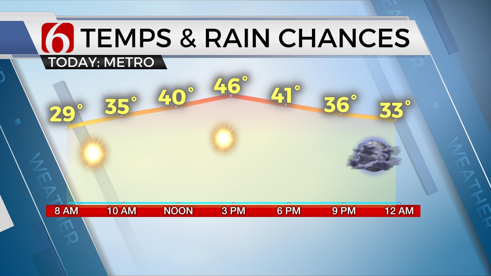
Light rain will continue to move across the area this morning with no or very little threat of thunder. Breezy, dry and mild conditions will remain for the middle of the day before another cold front arrives later this afternoon and evening. The pattern will remain active for the week with some additional shower and storm chances.

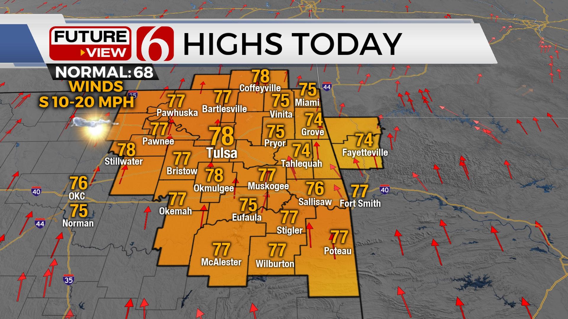
We should see most of the showers ending after early morning, but gusty southwest winds will remain from 15 to 25 mph through the day before a surface cold front nears the region later this afternoon. This front should pass the metro around 3pm to 6pm with a limited chance of a storm. Slightly better chances will reside across extreme eastern or southeastern OK. If a few storms do develop along the boundary later this afternoon or evening, there will remain a slight chance of a strong to near severe storm. The chances will remain very low but not zero for this scenario. Even though I will keep a low chance around the metro from 3m to 6pm, this chance will remain near or less than 20% for Tulsa.

South winds this morning along with temps in the mid to upper 50s will be followed by a high near 70 with a sun-cloud mix by afternoon. We'll be dry for most of Tuesday before another upper level impulse arrives from the northwest as the surface boundary attempts to lift northeast Tuesday night into Wednesday morning with a few scattered storms likely near or northeast of the metro.
A few strong to severe storms producing some hail will be possible due to the presence of the boundary, surging low level moisture, and the possibility of increasing low level jet winds. The pattern for the end of the week remains active, even though some differences are now presenting in some of the data regarding timing of the main upper level system.

Thursday a surface front should be moving southward across part of the state and we’ll need to keep a chance for a few storms near or south of the metro during this period. By Thursday evening into Friday morning, the data diverges greatly.
Thursday night into Friday a strong upper level system in the southern stream will near the southern plains, including our area. South winds and increasing low level moisture will be likely as deep and unseasonably robust moisture moves from the Gulf across eastern OK. Showers and storms will be possible as early as Thursday evening into Friday morning, with higher chances Friday night into Saturday as the system moves across the state. Data is unclear on the exact positioning of surface features and this part of the forecast may continue to change.
Thanks for reading the Monday Morning weather discussion and blog.
Have a super great day!
Alan Crone
More Like This
March 9th, 2020
November 30th, 2022
November 1st, 2022
August 26th, 2022
Top Headlines
December 12th, 2024
December 12th, 2024
December 12th, 2024
December 12th, 2024


