Chilly Thursday Before Weekend Warm Up Arrives For Northeastern Oklahoma
The coldest morning of the week is underway with temps in the lower to mid-20s along with north breezes and mostly clear sky.Thursday, February 27th 2020, 7:49 am
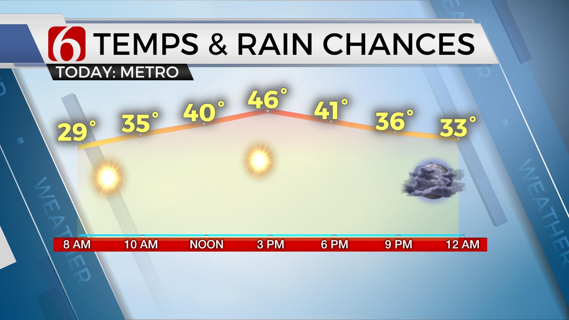
The coldest morning of the week is underway with temps in the lower to mid-20s along with north breezes and mostly clear sky. A mostly pleasant day is ahead of us with sunshine through the morning before a fast-moving clipper drops across the Missouri Valley later this afternoon and evening.

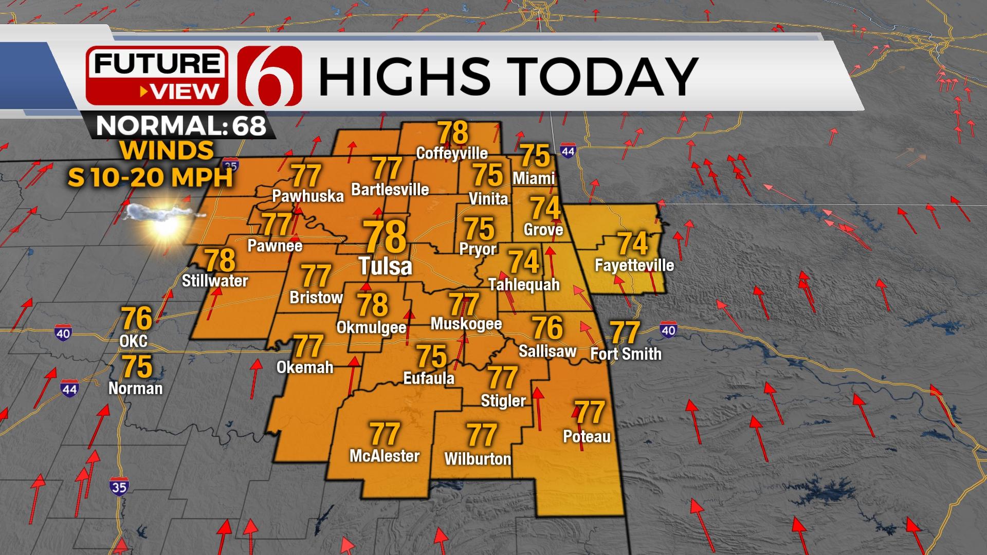
This will bring increasing clouds across NE OK late this afternoon along with breezy southwest winds with a mention for a few showers, mostly across far NE sections into southern Kansas. I will add a slight chance of a shower or two for the metro and vicinity between 6pm and 10pm tonight. Once this system passes the area late this evening, a warming trend will commence with Friday afternoon highs reaching near 60 and into the lower 70s for afternoon highs into the weekend.

Gusty south winds will return Sunday ahead of our next stronger wave that approaches the state early next week. This system, if it slows down, it could provide us with a chance for a few strong to severe storms across extreme southeastern OK Monday night or Tuesday morning. As the data suggests this morning, the better likelihood for severe will occur Tuesday and Wednesday across the southeastern region of the United States, with a chilly rain possible across part of eastern OK Tuesday with north winds.
Thanks for reading the abbreviated Thursday morning weather discussion and blog.
Have a super great day!
Alan Crone
More Like This
February 27th, 2020
November 30th, 2022
November 1st, 2022
August 26th, 2022
Top Headlines
December 13th, 2024
December 13th, 2024
December 13th, 2024
December 13th, 2024


