Cold Thursday, Spring Preview This Weekend For Northeastern Oklahoma
It’s back to blustery and cold weather today. Afternoon highs will remain well below seasonal averages with cold conditions remaining through Thursday morning.Wednesday, February 26th 2020, 4:57 am
It’s back to blustery and cold weather today. Afternoon highs will remain well below seasonal averages with cold conditions remaining through Thursday morning. A pattern change brings a preview of spring weather into the state this weekend before some rain and thunder return early next week.

You may find some early morning showers with a snow mix across far southern OK, but most of the falling precipitation has ended across the northern sections. There will remain a small chance of additional showers developing later this afternoon across far northeastern OK into southwester Missouri with another fast-upper level wave, but this chance will remain relatively low due to the small coverage of any shower activity that develops.

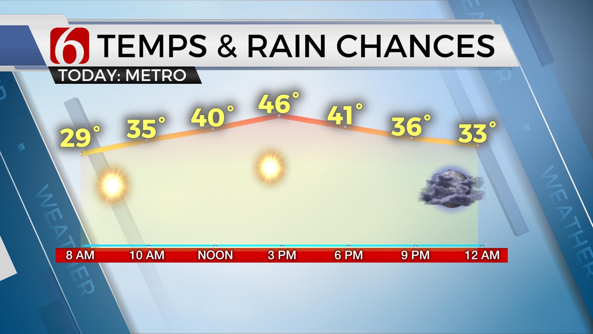
Today represents the coldest day of the week with temps running in the 30s now and only projected to reach the lower 40s this afternoon. No doubt you’ll notice the gusty northwest winds this morning from 15 to 28 mph. Combined with temperatures, wind chills will be in the upper teens and lower 20s for the next few hours. The clouds will also stick around for the next few hours but should also decrease during the midday to afternoon with some sunshine across part of NE OK. Thursday morning starts with the coldest morning in the 7-day planner with many locations dropping into the lower to mid-20s. Thursday afternoon highs reach the mid-50s with partly cloudy conditions. Our next fast-moving upper wave brushes the central plains Thursday into early Friday but will have no impact on sensible weather other than to keep a northwest wind through the area during the day Friday.

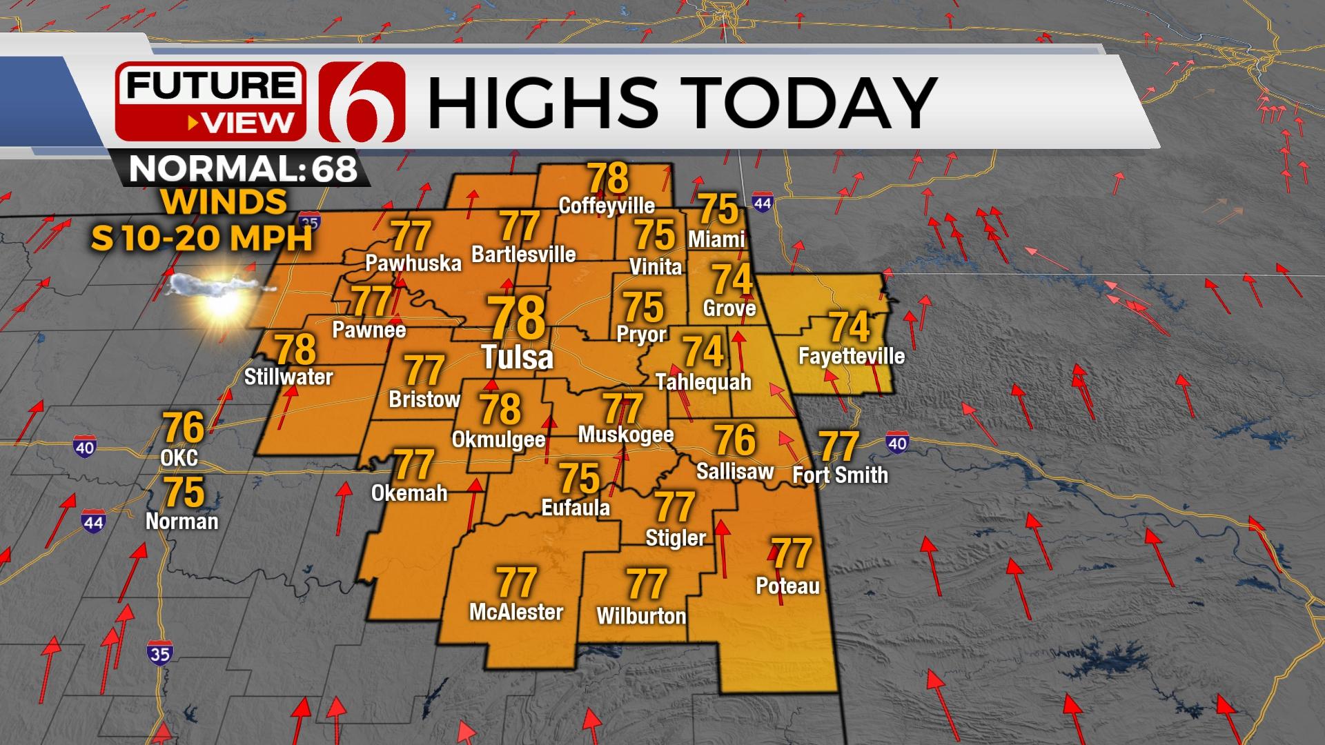
The more significant change occurs after the passage of this wave. Temperatures are expected to warm through the weekend with highs reaching the upper 60s or lower 70s with sunshine and breezy south winds into Sunday. Our next stronger looking system will near the area either Monday or Tuesday with rain and storm chances followed by a modest cooldown for the middle of next week. The system appears to be slowing some in the data for early next week and we’ll make some minor adjustments to the timing. We’ll keep mentions of showers and storms Monday, but mostly Monday evening across the east. Additional showers or storms will also remain possible Tuesday.
Thanks for reading the Wednesday morning weather discussion and blog.
Have a super great day!
Alan Crone
More Like This
February 26th, 2020
November 30th, 2022
November 1st, 2022
August 26th, 2022
Top Headlines
December 13th, 2024
December 13th, 2024
December 13th, 2024
December 13th, 2024


