Warmer Temperatures Return For Monday
A short-term warming trend remains for the next two days with temperatures moving back above the seasonal averages.Monday, January 13th 2020, 8:40 am
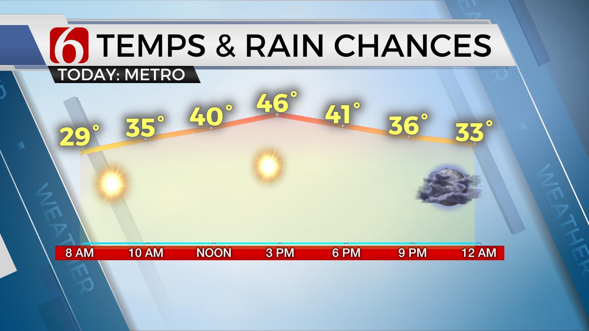
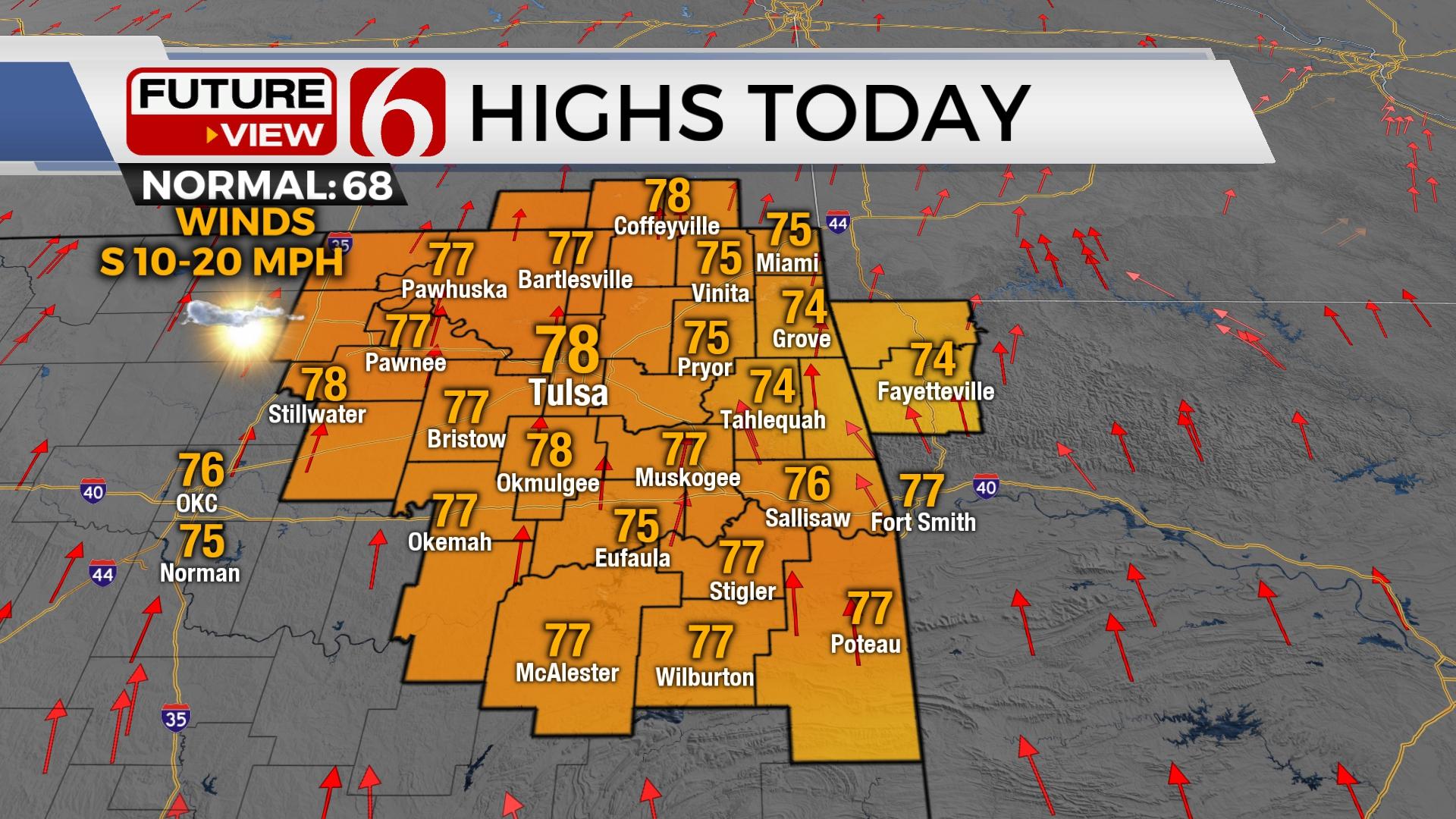
A short-term warming trend remains for the next two days with temperatures moving back above the seasonal averages. Daytime highs will reach the upper 50s before active weather slowly returns across the state. Temperatures this morning will start in the lower 30s with afternoon highs anywhere between the upper 50s and a few lower 60s. Some clouds may arrive around midday to early afternoon that could cap the highs around 56 to 58. Breezy south winds return today around 10 to 25 mph. Early this morning, some patchy fog may develop across part but not all of the area.

The upper air flow will bring two distinct waves across the state this week with the first disturbance arriving later tonight into Tuesday morning and the stronger system nearing Friday into Saturday. The first wave will barely brush our immediate area but may aide in bringing a weak front across the area Tuesday night into Wednesday with limited shower chances across extreme southeastern OK or western Arkansas Wednesday morning to midday. I’ll include some low chances for this period. The stronger upper level system nears by the end of the week with increasing rain and storm chances, including the slightly possibility of strong to severe storms Friday across southeastern OK with rain and thunder across the north.

The first system will bring a surface front across the area Tuesday night into Wednesday morning or midday that should drop the temps by Wednesday midday to afternoon. Earlier last week, it appeared this would be a rather robust temperature drop, but subsequent data suggest the change may not be as abrupt. This means Wednesday high temps will reach the lower to mid-60s before temperatures drop by the afternoon into the 50s. Thursday morning lows will be near or slightly above freezing but should rebound into the lower or mid-40s.

Friday into Saturday as the 2nd and stronger upper level system nears the state, moisture will begin returning across the state with showers and possibly storms impacting a large area of central and eastern OK beginning Thursday evening into most of Friday. Temperatures may be climbing back into the lower 60s by Friday afternoon depending upon the positioning of a warm front and this could result with increasing instabilities across eastern OK with a few strong to severe storms possible. As the upper level system moves eastward, the surface front will pass the state bringing drier and colder air back into northeastern OK with Saturday morning lows in the upper 20s and afternoon highs in the lower 40s. Sunday should be sunny yet cold with morning lows in the lower 20s in the metro and teens in the valleys. Sunday afternoon highs will remain in the lower 40s with Sunshine.
In summary, breezy yet mild weather remains today with highs in the upper 50s with some clouds and sun in the mix at times. A few showers will be possible Wednesday, most to the east. Chilly weather arrives Wednesday night into Thursday. And rain and thunder return Friday with highs in the 60s before colder and dry conditions return for the weekend.
Thanks for reading the Monday morning weather discussion and blog.
Have a super great day!
Alan Crone
More Like This
January 13th, 2020
November 30th, 2022
November 1st, 2022
August 26th, 2022
Top Headlines
December 13th, 2024
December 13th, 2024
December 13th, 2024
December 13th, 2024


