Strong Storms Tuesday Morning Before Pleasant Weather Returns To Green Country
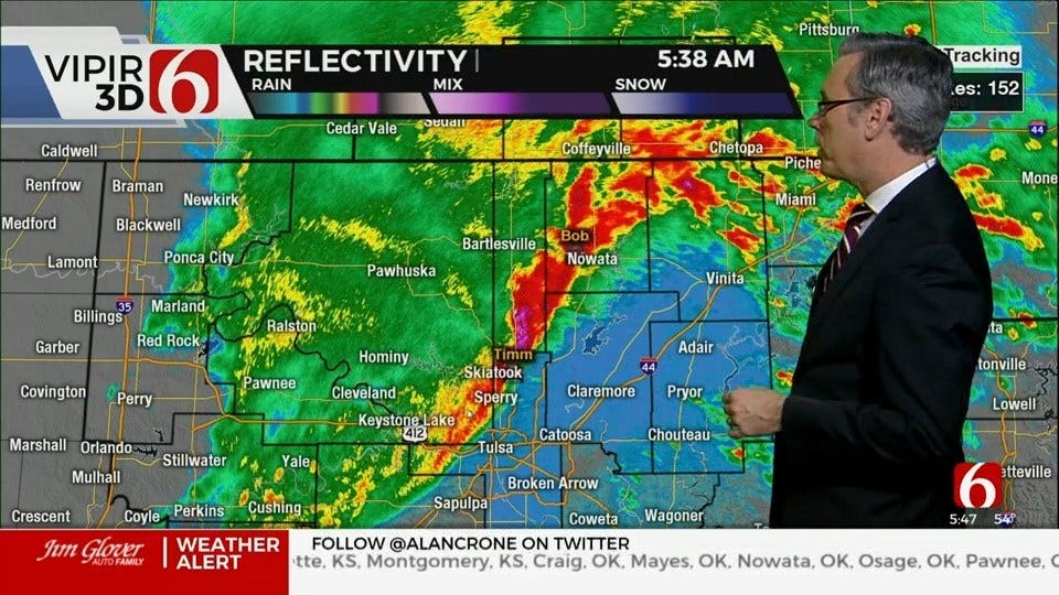
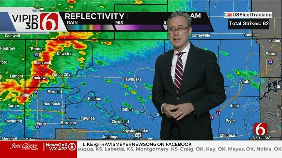
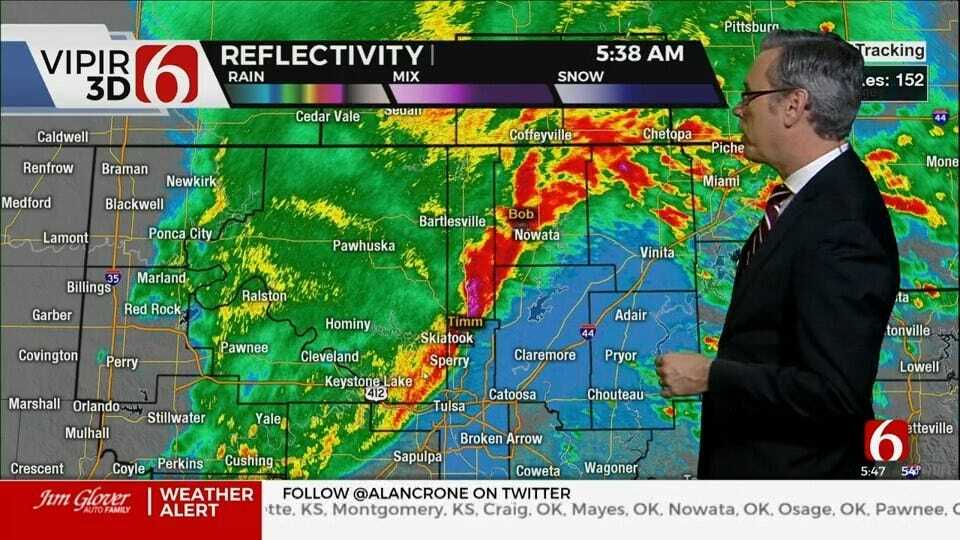
Storms will continue along the northern OK region for the next few hours before quickly vacating the region between 8am and 10 am. A few of these storms may still be strong to severe with large hail and damaging winds the main threatTuesday, March 24th 2020, 12:09 am
Storms will continue along the northern OK region for the next few hours before quickly vacating the region between 8am and 10 am. A few of these storms may still be strong to severe with large hail and damaging winds the main threat. A few additional storms may also develop across extreme eastern OK and western Arkansas producing nickel hail. Once the storms exit, clouds will clear from the west to east by midday with afternoon sunshine and pleasant weather. Daytime highs may need to come down a few degrees from our current forecast, but I'll not make any big adjustments at this hour. We currently have highs set for the 71, but some data is suggesting highs may stay in the upper 60s this afternoon. Regardless, improving weather is likely for the area through Thursday with a big noticeable warming trend for both morning lows and afternoon highs. We should be reaching the lower 80s Wednesday and mid 80s Thursday before our next upper level system appears near the state with a few mentions for storms. As posted yesterday, the scenario for the end of the week into the weekend is complicated.

A strong upper level trough currently well to our west will near the state by the second half of the week. A lead disturbance may eject around the base of this feature by Thursday as a surface front moves from the central plains into northern OK by Thursday night. As this occurs, the main trough to the west will begin moving east. Pressure falls will occur along the Rockies and the front will become stationary somewhere across northern OK or southern Kansas. A few storms will likely develop Thursday night or Friday morning, more than likely slightly north of the metro, and mostly along the northern side of the boundary into southern Kansas. This chance will remain near or less than 20% for the period of Thursday night and Friday morning. Even though chances are low, any storms that develop would be severe but mostly north of the metro. Friday morning to midday the front may waffle slightly in position but remain nearby as the main upper trough approaches. A new surface low pressure area is likely to develop across southeastern Colorado or far northwestern OK by Friday evening with additional storms likely near the stalled boundary and the surface low. The exact positioning of these features will hold the key to specific storm locations for Friday night and Saturday morning. These could totally miss the metro while having impacts across eastern OK as the front moves southward into early Saturday morning. Or storms may be more concentrated ahead of the surface low and impact north central and northeastern OK during this period. It's too early to know with any confidence at this point, so I'll keep a decent mention of storms for this latter period. If the timing holds, most of the weekend will be fine, other than early Saturday morning. Temperatures this weekend support lows in the upper 40s and lower 50s with highs in the 60s.
Remain aware of these storms for the next few hours, but these should move out quickly this morning. Enjoy the warmer weather later this week.
Thanks for reading the Tuesday morning weather discussion and blog.
Alan Crone
More Like This
December 2nd, 2024
November 22nd, 2024
Top Headlines
December 12th, 2024
December 12th, 2024
December 12th, 2024
December 12th, 2024


