Gusty Winds Before Cooler Weather Returns To Northeastern Oklahoma Friday
We’re tracking three systems over the next 7 days. The strongest one, more than likely, impacts part of the area by the middle of next week.Thursday, April 16th 2020, 2:26 am
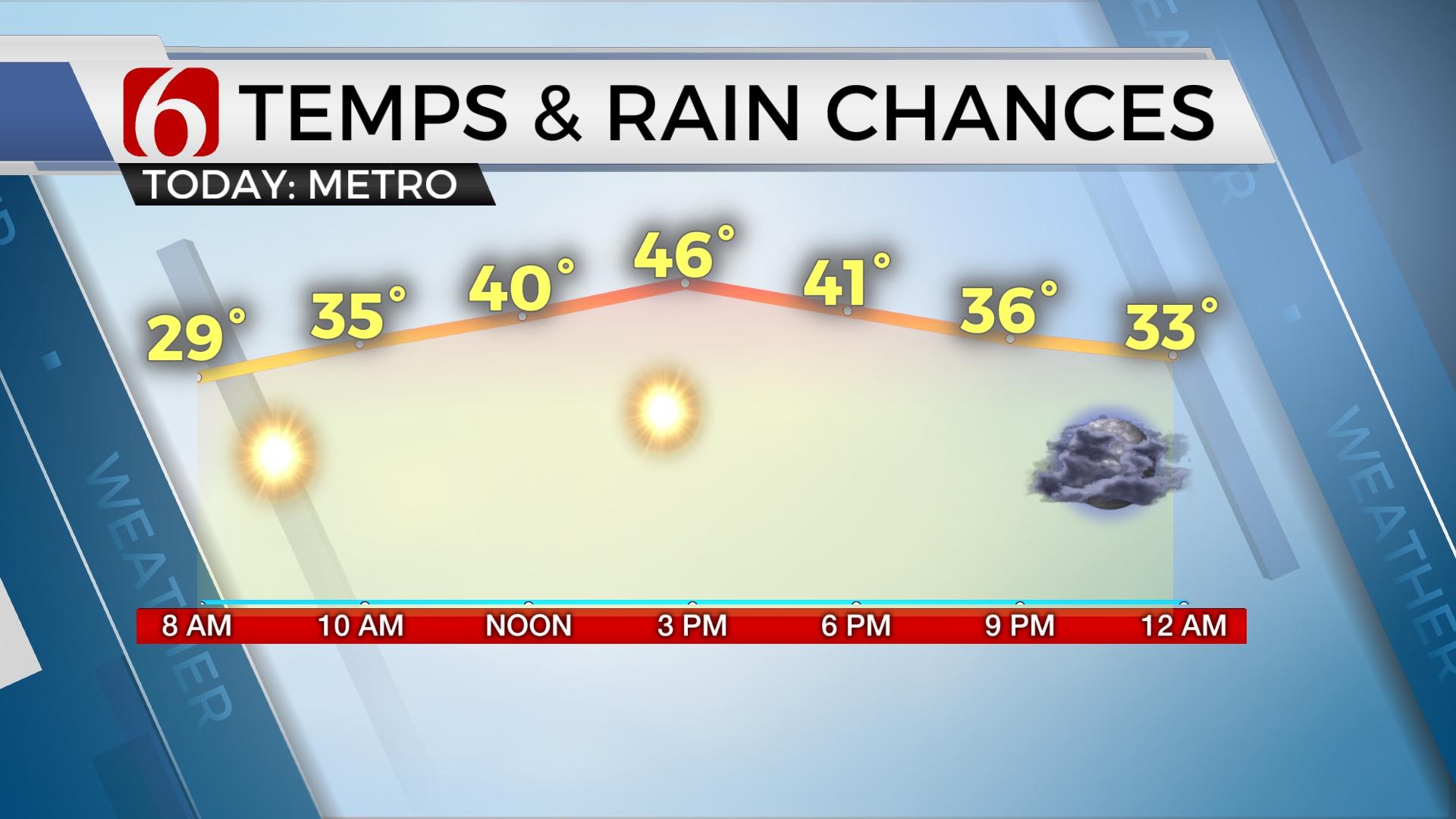
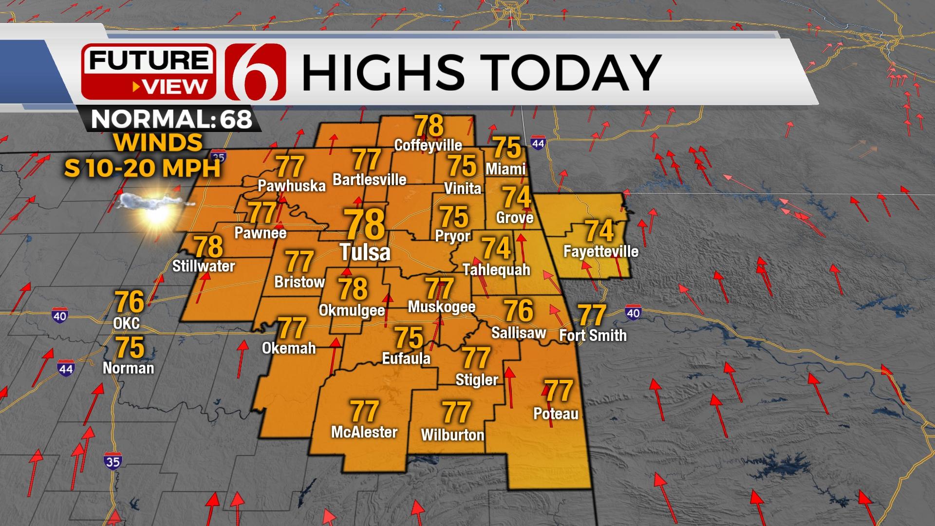
We’re tracking three systems over the next 7 days. The strongest one, more than likely, impacts part of the area by the middle of next week. The first arrives later tonight into Friday morning with a few showers and storms followed by the 2nd system Saturday evening into early Sunday morning. Both of these two systems don’t appear to be big severe weather threats for our immediate area of concern. Highs this afternoon should reach the lower 70s around the metro with upper 60s east along with gusty south winds from 20 to 30 mph.

The boundary arriving tonight is already making some progress this morning across central Kansas. We’re tracking a few showers near this feature this morning, but these will remain well north of our areas. Later today the cold front will approach northwestern OK to southcentral Kansas by the 5pm hour with a few showers and storms developing along the boundary into the evening hours. While the mid-level winds are more than strong enough to support some severe weather threats, the low-level moisture plots are rather benign. A few storms could produce some small hail and gusty winds along the state line region, but the chances will continue to remain low for severe storms. Most data support the boundary rapidly moving southward this evening and should undercut updrafts by the evening hours. This will result in mostly elevated thunderstorm activity this evening and overnight as the main upper level impulse quickly moves into the Midwest. Some lingering showers will remain early Friday morning before relatively dry air ends the precipitation along with gusty north winds and chilly conditions. High temperatures Friday may be reached during the early morning hours with most locations in the lower to mid-50s but falling through the day with temps Friday afternoon in the upper 40s to near 50 by afternoon. Saturday into Sunday our next upper level system will quickly arrive bringing our 2nd system across the state. This one looks slightly stronger in the data this morning compared to yesterday, but the overall lack of moisture may also keep severe threats mostly to our south, along the Red River, or across far southeastern OK and north Texas. While the mid-level impulse should move west to east across the state, a surface low may take the southern route, and remain to the south of our immediate area Saturday evening into Sunday. This would also tend to favor extreme southeastern OK or north TX for any strong to severe storm chances. Temps this weekend will result in highs in the mid-60s Saturday and near 70 Sunday by afternoon.

Early next week a much stronger upper level system is likely to develop to our west and bring increasing thunder chances by at least Tuesday night into Wednesday. The data remains inconclusive regarding the exact trajectory of some important severe weather parameters, but the overall pattern supports a mention of severe weather chances for at least the eastern third of the state for the middle of the week. Strong winds aloft around the base of the trough should be in the 70 to 80 knot range. Low level moisture should be surging northward by Tuesday and remain in place across the eastern half of the state Wednesday with decent moisture depth across southcentral to southeastern OK with a narrow plume extending into northeastern OK. Again, it’s a little too early to pinpoint severe weather threats specifically with this system, but we have increased the probability, already to a 60% chance for Wednesday.
Thanks for reading the Thursday morning weather discussion and blog.
Have a super great day!
Alan Crone
More Like This
November 30th, 2022
November 1st, 2022
August 26th, 2022
Top Headlines
December 11th, 2024
December 11th, 2024
December 10th, 2024


