Chilly Tuesday; Severe Storm Chances On Wednesday
Chilly Tuesday; Severe Storm Chances On WednesdayTuesday, May 12th 2020, 6:33 am
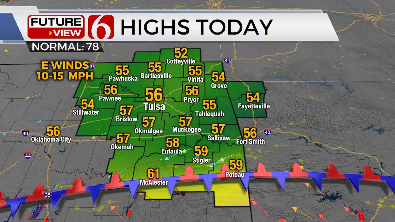
The 2nd day of record low-high temps will occur with temperatures almost 25 degrees below seasonal norms. Another wave of energy is also moving across the state with scattered showers and storms for the morning to midday hours. This activity started last night across the high plains of Texas and the panhandle, where some strong to severe storms did occur, but these will remain well below severe threats today across eastern OK while producing some lightning in spots to the south.

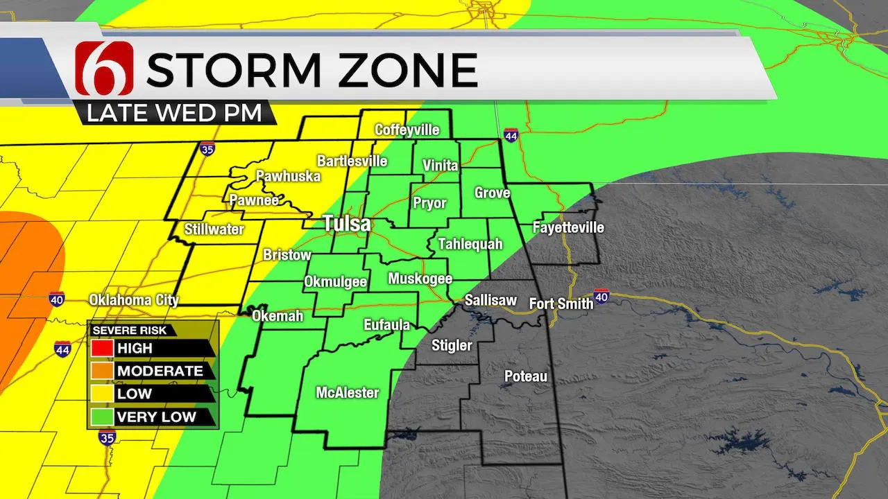
Later tonight our next upper level system will approach the area while a developing warm front south of the region will retrograde northward across northeastern OK by early Wednesday morning bringing a chance for a few storms along and north of the boundary. Higher chances will arrive across the OK-KS state line region and any threats would be confined to some hail. Wednesday will feature mostly dry, breezy and warmer weather with highs reaching at least the mid to upper 70s with additional storm chances taking a run at eastern OK late Wednesday night into Thursday morning, including a chance for a few severe storms near and west of the Tulsa metro. This active pattern will remain through the end of the week with even warmer weather advancing across the southern plains allowing northeastern OK reaching the lower or mid 80s with increasing low-level moisture.

We will continue with additional storm chances across central to eastern OK including the mention for some strong to severe storms. We may be able to adjust probabilities and time periods more specifically for the end of week period , but for now, will broad-brush some late night and early morning chances continuing through Friday for the eastern third of the state despite higher chances for stronger upper level support to our north. Basically, the stronger flow will be slightly removed from the deeper moisture and growing surface instability. We’ll respect the pattern and keep the mentions of some strong to severe potential in the forecast. Most data support the development of a closed-type low across Texas this weekend that may drift close enough to provide storm chances during the day Saturday before this feature moves eastward Sunday morning to midday. I’ll keep a slight chance for activity Sunday, but we may get a break for most of the area for most of Sunday. Longer range trends continue to support above seasonal average temperatures and above normal low-level moisture for the following week yielding warm and humid weather for all the following week.
Grab the jacket and some rain gear this morning.
Thanks for reading the Tuesday morning weather discussion and blog.
Have a super great day!
Alan Crone
More Like This
May 12th, 2020
August 8th, 2023
July 4th, 2023
May 8th, 2023
Top Headlines
December 13th, 2024
December 13th, 2024
December 13th, 2024
December 13th, 2024


