Severe Thunderstorms With Hail, Strong Winds Move Through Green Country
Severe thunderstorms are moving across Tulsa area early Wednesday afternoon, as two major storm systems move through Green Country. One is near Claremore and moving north, the other has reached Sand Springs and moving north and northwest.Wednesday, March 17th 2021, 3:15 pm
Severe thunderstorms are moving across Tulsa area early Wednesday afternoon, as two major storm systems move through Green Country. One is near Claremore and moving north, the other has reached Sand Springs and moving north and northwest. All tornado warnings have been dropped from Green Country counties.
The storm moved north from Kellyville in Creek County and is no longer under a tornado warning, although the storm is still strong. The system is heading northeast around 15-20 miles per hour and reached Sapulpa around 2:24 p.m. and then Wekima, Berryhill, Tulsa Hills and Sand Springs around 2:39 p.m. The storm hit Gathering Place and downtown Tulsa around 2:55 p.m. and moved through to the University of Tulsa around 3 p.m. It's moving north through Skiatook and Sperry.
The Claremore and Catoosa areas are seeing a severe thunderstorm warning, and the tornado warning for Rogers and Wagoner County has been dropped. The cell is moving north and the areas are seeing strong winds and rain, with hail possible.
There is a tornado watch across the Tulsa area until 8 p.m. Wednesday.
Both systems are producing hail, one moving through downtown Tulsa at 3 p.m. and the other hail core is just north of Sperry.
The storm coming north and northeast from Sapulpa has been rotating but no signs of a funnel as of 2:45 p.m. Wednesday.

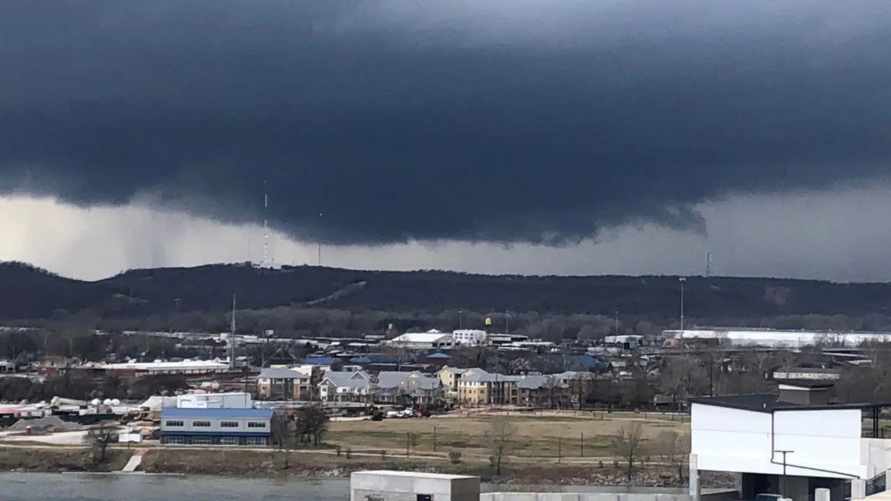
This view from an apartment complex near Denver and Carson is in downtown Tulsa showing the cloud formations moving across the metro.
 Image Provided By: Kristi Hayes
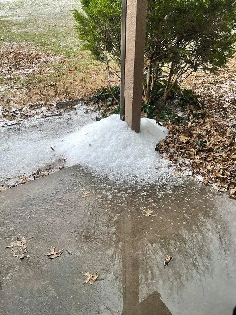
The storms are producing hail across Green Country. Viewer Savannah Drumm sent this picture of hail from Broken Arrow, near 81st and County line.
 Image Provided By: Savannah Drumm
More Like This
November 25th, 2024
November 25th, 2024
November 25th, 2024
Top Headlines
December 11th, 2024
December 11th, 2024
December 11th, 2024
December 11th, 2024


