

Big Cool Down In Store For Monday As Cold Front Moves In
An unseasonably strong cold front is rolling across northeastern OK early this morning bringing a big and welcome change in our weather for a few days before the heat and humidity return by the end of the week.Monday, June 21st 2021, 6:35 am


TULSA, Oklahoma -
An unseasonably strong cold front is rolling across northeastern OK early this morning bringing a big and welcome change in our weather for a few days before the heat and humidity return by the end of the week.
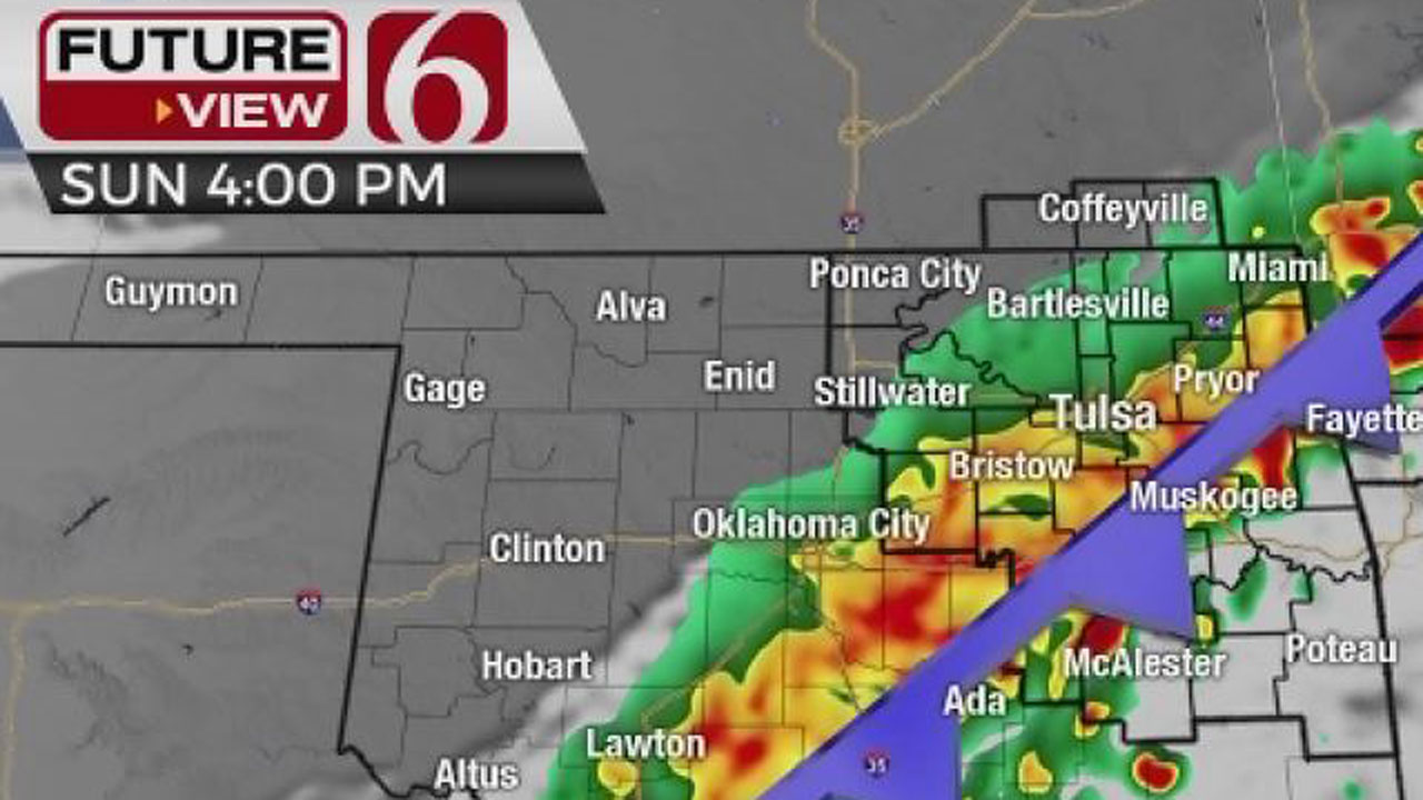
Another storm system approaches the state later this week into the weekend bringing yet another front across the area, but not nearly as noticeable as this morning's main event. A few showers or storms may develop along and ahead of the front across east-central to southeastern OK this morning to midday that may be marginally strong to severe, but the overall severe weather threat is limited due to the stronger lift positioned northeast of the state.
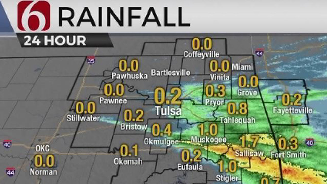
Scattered showers and storms are expected to develop behind the boundary midday moving from southeastern Kansas into part of northeastern OK. This activity is not expected to be strong or severe but stronger cores early this morning could contain pea-sized hail and some lightning along with gusty winds. Later this morning, most of these characteristics will not be included as precip becomes sparse. The main highlight of this system is the cooler and drier air arriving behind the front.
Temps will be in the 70s and lower 80s ahead of the boundary but will drop into the 60s with north winds at 15 to 25 mph at midday. Far northern OK, along with and north of the highway 412 corridor may have enough recovery this afternoon as showers end for temps to rebound into the lower 70s with some late afternoon sunshine-cloud mix. Some near record lows are expected Tuesday morning across the valleys of northeastern OK as dew points drop into the lower 50s or even a few spots in the upper 40s. The Tulsa metro starts Tuesday morning in the mid to upper 50s before highs reach the lower 80s Tuesday afternoon with southeast winds from 10 to 20 mph for most of the day. But this oasis of cooler weather quickly disappears as the typical summer June conditions return.
Wednesday night into Thursday as the next upper-level system drops into the northern high plains, a surface low forms across Eastern Colorado. Strong south winds quickly return as dew points in the 60s and 70s race northward from the Gulf of Mexico. Surface temps will shoot into the lower to mid-90s for afternoon highs for the end of the week with heat index values likely over 105 Thursday as dew points in the mid-70s nudge northward into northeastern OK. This will require more heat advisories for most of central and eastern OK.
This weekend another cold front will nearby Friday into Saturday bringing additional scattered showers and storms, including the threat for a few strong to severe storms and locally heavy downpours. Most data support a frontal passage Saturday morning but with minimal cooling compared to the front arriving today.
Thanks for reading the Monday morning weather discussion and blog.
Have a super great day!


Alan Crone
At the first hint of storms, a young Alan Crone would start watching from the big front porch of his parents' home in McAlester.

Get The Daily Update!
Be among the first to get breaking news, weather, and general news updates from News on 6 delivered right to your inbox!
More Like This

June 21st, 2021
April 24th, 2022

April 24th, 2022
April 16th, 2022
Top Headlines

March 13th, 2025

March 13th, 2025

