Storm Chances Hang Around
Storm chances hang around on Thursday after severe weather swept across the state overnight.Thursday, April 20th 2023, 8:37 am
TULSA, Okla. -
If you’re into podcasts or in a rush, check out my daily weather update. Search for NewsOn6 and ‘Weather Out The Door’ on most podcast providers, including Spotify, Stitcher and Tune-In, or Click Here to listen on Apple Podcasts.
TULSA, Okla. - Storm chances hang around on Thursday after severe weather swept across the state overnight.
Here are the details from News On 6 Meteorologist Alan Crone:

A cold front is rapidly entering northern Oklahoma on Thursday morning bringing a narrow line of showers and storms near and behind the front. These storms have been severe overnight across Kansas but will be weakening over the next hour or so before redeveloping later Thursday afternoon across southeastern Oklahoma. There will remain a small window this morning for a few strong to severe storms behind the boundary producing some quarter-sized hail. Temps will drop into the 60s this morning but should rebound into the 70s by afternoon across northern OK with some afternoon sunshine and gusty north winds. Chilly weather will eventually return for the weekend.

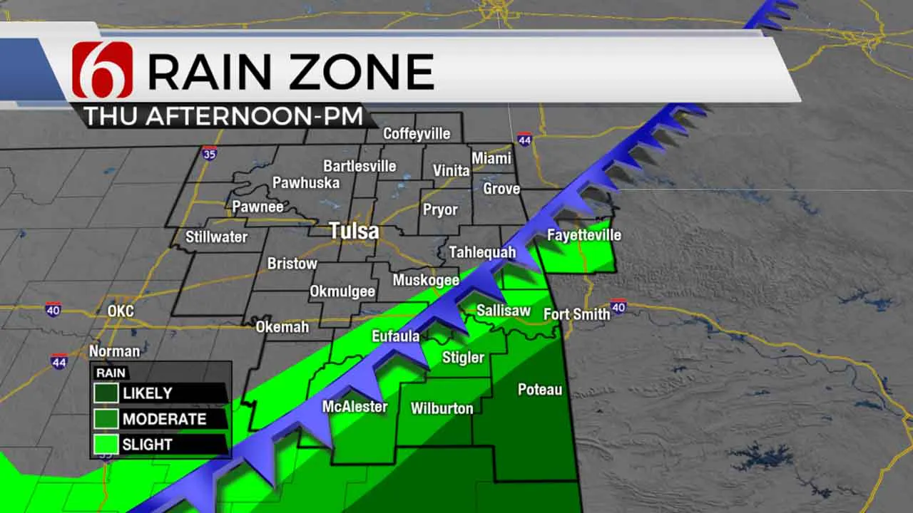
As the cold front enters southeastern Oklahoma on Thursday afternoon, additional storms will attempt to fire up, including threats of strong to severe storms. Locations near McAlester eastward along Highway 270 and south into north Texas will be a favorable environment for severe storms. Higher probabilities will be slightly south of our immediate areas of concern, but we’ll continue to remind readers in these areas to remain aware of the weather later today. 
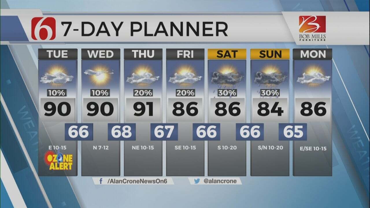
Cooler air will filter southward later tonight and bring Friday morning lows in the 40s followed by afternoon highs in the mid-60s to lower 70s. A secondary upper-level wave is expected to move across the area tomorrow and may trigger a few showers for the morning hours before moving quickly south. This probability will also remain limited. After tomorrow morning, clouds will thin from the north to south with afternoon highs in the upper 60s and lower 70s. A surface ridge of high pressure temporarily brings some cooler, chilly weather Saturday with morning lows in the 40s and afternoon highs only in the upper 50s and lower 60s Saturday afternoon with northwest winds from 15 to 30 mph. The data continues trending toward a disturbance dropping across the high plains of Texas into western OK through the Red River Valley of southeastern OK Sunday midday to afternoon. Much of this system should remain west and south of Tulsa, but some showers may populate areas of southeastern OK Sunday afternoon. The upper pattern remains highly chaotic next week but would suggest the return of storm chances including the first part of next week. We’ll post more on these scenarios tomorrow.
Thanks for reading the Thursday morning weather discussion and blog.
Have a super great day!
Alan Crone
KOTV
More Like This
April 20th, 2023
July 3rd, 2023
June 8th, 2023
June 6th, 2023
Top Headlines
December 12th, 2024
December 12th, 2024
December 12th, 2024


