Storm Chances Remaining Into The Weekend
Shower and storm chances stick around on Wednesday.Wednesday, May 10th 2023, 6:08 am
If you’re into podcasts or in a rush, check out my daily weather update. Search for NewsOn6 and ‘Weather Out The Door’ on most podcast providers, including Spotify, Stitcher and Tune-In, or Click Here to listen on Apple Podcasts.
TULSA, Okla. - Shower and storm chances stick around on Wednesday.
Here are the details from News On 6 Meteorologist Alan Crone:
A few thunderstorms moved across northern Oklahoma into east-central Oklahoma on Tuesday night, including a few strong and severe. An outflow boundary has moved across most of the area resulting in morning lows in the 60s. That system is moving away quickly this morning while another storm system will approach southeastern Oklahoma from Texas later today. This weak upper-level low will spread scattered showers and storms across southeastern Oklahoma at midday and into part of northern OK later this afternoon and evening. Higher coverage will be located across the southern part of the state, but a few scattered showers and storms will remain possible across Northeastern Oklahoma later this afternoon and evening. The upper airflow remains rather weak, but a few thunderstorms across the far northern part of the state could become locally strong with small hail and gusty winds. Mostly cloudy and cooler weather is likely across southern Oklahoma today, but pockets of sunshine across the northern third of the state will allow some minor surface instability. Afternoon temperatures near the metro will be in the lower 80s, with upper 70s common across southern Oklahoma. This upper-level feature will exit Northeastern Oklahoma early Thursday morning as our next stronger storm system nears the state Thursday afternoon and evening.
A powerful upper-level trough will emerge from the Rockies Thursday and eject into the northern High Plains Friday. A surface area of low pressure will quickly develop across southeastern Colorado tomorrow allowing gusty south winds spreading across the state Thursday and Friday. A dry line is likely to sharpen up across far western Oklahoma tomorrow afternoon. To the east of the dry line, a moderately unstable atmosphere will exist for most of Thursday afternoon and evening. Scattered thunderstorms are likely to develop near the dry line and move northeast Thursday afternoon and early evening across north Central Oklahoma into south-central Kansas. The storms will more than likely be super cellular in nature capable of all modes of severe weather. The higher threat for severe weather should be to the northwest of Tulsa, but a few strong and severe storms will be possible late Thursday night into early Friday morning nearby. The main forcing with the trough will quickly move away from the state Friday midday, yet a few scattered showers or storms will remain possible Friday afternoon, including a lower chance for a few strong or severe storms. Another upper-level feature will approach the state Friday night into part of the weekend providing yet another round of shower and storm opportunities.
Late Friday evening, a disturbance will emerge from the Mexican plateau and move northeast into part of southwestern Oklahoma. Showers and some thunder will develop and spread northeast with time, nearing part of northern and eastern Oklahoma Friday evening into Saturday. Coverage and exact timing will be discussed tomorrow, but numerous waves of precipitation will be possible for part of the weekend. Severe weather threats will be muted due to the weaker upper air flow, but some pockets of locally heavy rainfall will be possible. A surface cold front is expected to arrive late Saturday night or early Sunday morning, finally bringing north into Northeastern Oklahoma by the afternoon. This should bring a pleasant stretch of weather for a few days next week with near normal temperatures.
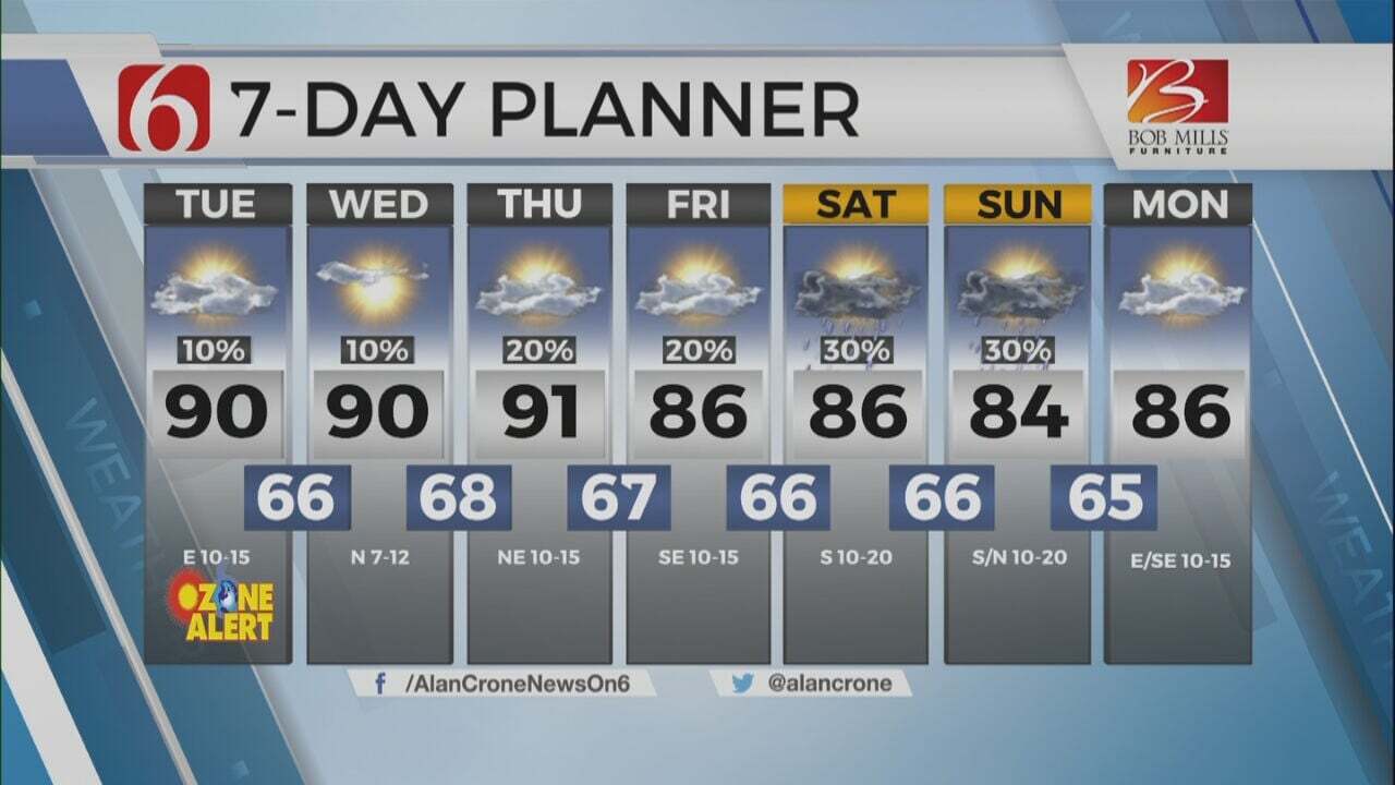
Afternoon highs today are expected to be in the lower 80s near the metro, near 80 tomorrow and Friday, and finally dropping into the upper 70s Sunday in the lower to mid-70s Monday.
Thanks for reading the Wednesday morning weather blog and discussion.
Have a super great day!
Alan Crone
KOTV
More Like This
May 10th, 2023
July 3rd, 2023
June 8th, 2023
June 6th, 2023
Top Headlines
December 14th, 2024
December 14th, 2024
December 14th, 2024
December 14th, 2024


