Storm Chances, Warmer Weather Returns Soon
Another cool and sunny day is ahead.Tuesday, May 2nd 2023, 5:30 am
If you’re into podcasts or in a rush, check out my daily weather update. Search for NewsOn6 and ‘Weather Out The Door’ on most podcast providers, including Spotify, Stitcher and Tune-In, or Click Here to listen on Apple Podcasts.
TULSA, Okla. - Another cool and sunny day is ahead.
Here are the details from News On 6 Meteorologist Alan Crone:
The blocking pattern that has been in place across the middle of the country for the past few days will begin breaking down soon. This will allow a west coast upper-level low to eject northeast across the intermountain region. While most of this disturbance remains north, several disturbances rotating around the base of this trough will bring storm chances across the state from west to east. A few scattered storms will be possible later in the day on Tuesday across the high plains of Texas, with a few scattered storms possible across western OK Wednesday. Some leftovers may scoot eastward into part of eastern OK Wednesday evening, but the probability remains low. A better chance for storms arrive Thursday evening for the eastern third of the state. More specifically, far northeastern OK and southeastern Kansas seem to be in a more favorable position for a few storms, including some severe threats Thursday night. A dry line will establish across west central Ok Thursday with scattered storms possible along and ahead of the feature Thursday evening. A low-level jet is expected to enhance lift across the zone Thursday evening proving the potential for severe storms. All modes would be possible. A small complex of storms may eventually develop, become more of a wind threat, as it transits across northeastern OK late Thursday night, exiting the area pre-dawn Friday.
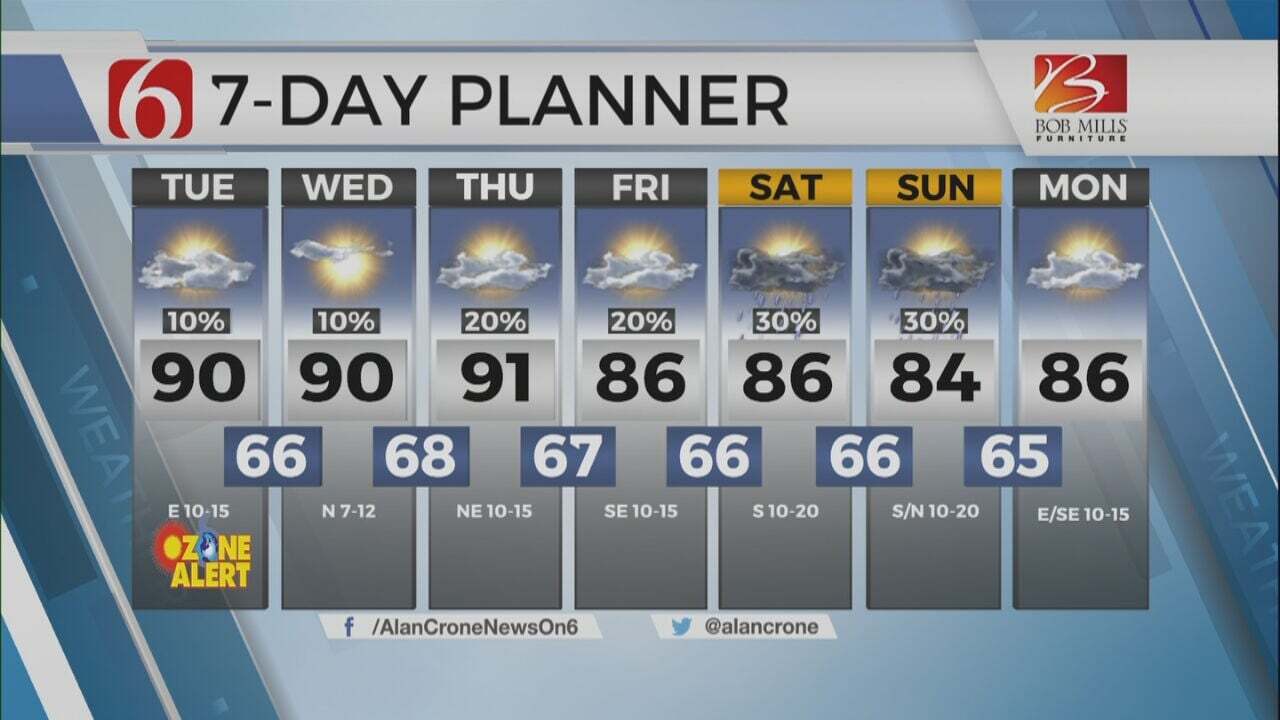
After a cool start, afternoon highs today will reach the lower to mid-70s with abundant sunshine and north winds near 10 to 15 mph. Temperature trends for the rest of the week support a warm-up with afternoon highs reaching the lower to mid-80s Thursday and nearing the upper 80s Friday with gusty south winds Wednesday through the weekend. This pattern change will also bring occasional rain and thunderstorm chances, some of which may be strong to severe. The overall pattern this weekend and for most of next week will bring occasional disturbances near the state as low-level moisture continues to stream from the south to north. Pattern recognition based with normal climatology across the state would also keep mentions of strong to severe with any storm chances this weekend into early next week.
Thanks for reading the Tuesday morning weather discussion and blog.
Have a super great day!
Alan Crone
KOTV
More Like This
May 2nd, 2023
July 3rd, 2023
June 8th, 2023
June 6th, 2023
Top Headlines
December 11th, 2024
December 11th, 2024
December 11th, 2024
December 11th, 2024


