

Shower Chances Return Before A Pleasant Weekend
A foggy morning is underway across Green Country.Friday, April 28th 2023, 5:37 am


TULSA, Okla. -
If you’re into podcasts or in a rush, check out my daily weather update. Search for NewsOn6 and ‘Weather Out The Door’ on most podcast providers, including Spotify, Stitcher and Tune-In, or Click Here to listen on Apple Podcasts.
TULSA, Okla. - A foggy morning is underway across Green Country.
Here are the details from News On 6 Meteorologist Alan Crone:
Partially clearing sky overnight has promoted the growth of some patchy yet dense fog this morning. Please use caution while traveling in these areas. Another storm system quickly nears later today bringing more rain and some thunder into the state, including showers around the Tulsa metro. Severe weather threats will remain across far southern OK and north Texas.
The main upper-level system that brought beneficial rain and chilly weather to the area has shifted east of the state. Another fast-developing low will drop down the Rockies into the plains today bringing another chance for showers and storms. Severe weather will be mostly confined to the Red River Valley region southward into north central Texas, where some significant severe weather will be possible. A few storms may produce some hail across southern Pittsburgh to Latimer Counties later tonight but most of the severe storms will be more southward. Rain and some thunder will be possible, even likely for the northern third of the state, including the Tulsa metro, mostly later tonight. However, rain will begin this morning across northwestern OK and progress south and east through the day as a surface cold front also drops southeast. There will be a chance for a few spotty showers nearing the northern OK region, including the Tulsa metro by midmorning. Higher chances arrive later this afternoon and evening. Highs this afternoon will reach the mid to upper 60s north and a few lower 70s across the southeastern sections. If you have travel plans into the Texoma region this afternoon and tonight, or also in the DFW region, please remain aware of your weather surroundings as severe weather threats, including all modes, will be possible in these areas.
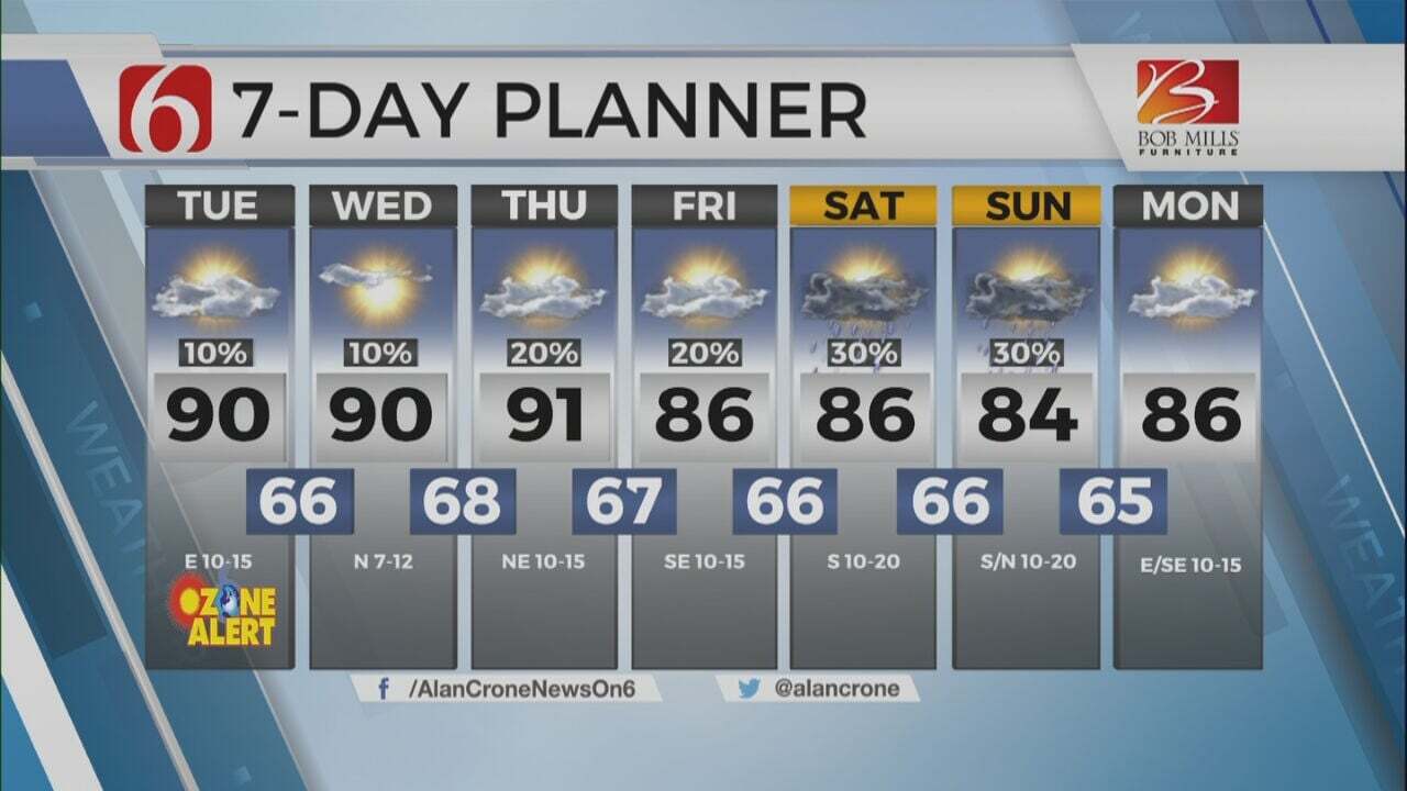
As the main upper-level low drops south, a surface low forms along the North TEXAS region and will move east later tonight. A warm front positioned near the Lake Texoma area will provide a focus for severe weather near and south of the boundary. A cold front will move across central OK later today as the surface low deepens and moves east. A zone of moderate to heavy rain is likely to form along the top side of the departing low later tonight into pre-dawn Saturday before exiting southeast during the day. Current projections place this zone well south of the metro and mostly across far southeastern OK overnight. Locally heavy rainfall from 1 to 2 inches will be possible in this zone resulting in localized drainage issues. This zone should pivot away from the area from SE OK quickly Saturday morning. We'll expect mostly sunny sky, breezy and cool weather tomorrow with Saturday afternoon highs in the mid to upper 60s. Sunday morning starts in the lower 40s with highs near 70. Northwest winds will remain at 15 to 25 mph. A gradual warming trend is likely next week with near normal readings Tuesday and above normal highs Wednesday and Thursday.
The upper air flow transitions to a northwest flow quickly this weekend and remains until about Wednesday as the pattern attempts to change. A strong and deep upper low across the Midwest and Great Lakes will keep cool air circulating across these areas while a mid-level ridge builds across the Mexican Plateau into part of Texas. Another low will drop down in the pacific coastal region but will be blocked by the ridge. This block, which resembles the Greek Letter Omega, will bring the northwest flow over the state for a few days. This flow can be tricky with even small disturbances able to produce scattered showers and storms. Our forecast continues with a low-end mention of a few passing showers on Monday and Tuesday, but these are very low. By the 2nd half of next week, the ridge breaks down and a disturbance nears the state bringing another chance for storms. Some could be strong to severe during the Thursday or Friday period, but this probability also remains rather muted for this time of year.
Thanks for reading the Friday morning weather discussion and blog.
Have a super great day!
Alan Crone
KOTV

Get The Daily Update!
Be among the first to get breaking news, weather, and general news updates from News on 6 delivered right to your inbox!
More Like This

April 28th, 2023

July 3rd, 2023

June 8th, 2023
June 6th, 2023
Top Headlines

December 12th, 2024

December 12th, 2024

December 12th, 2024
